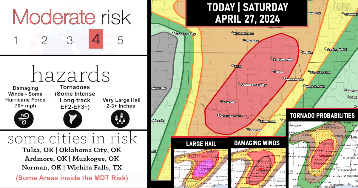
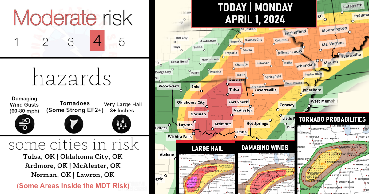
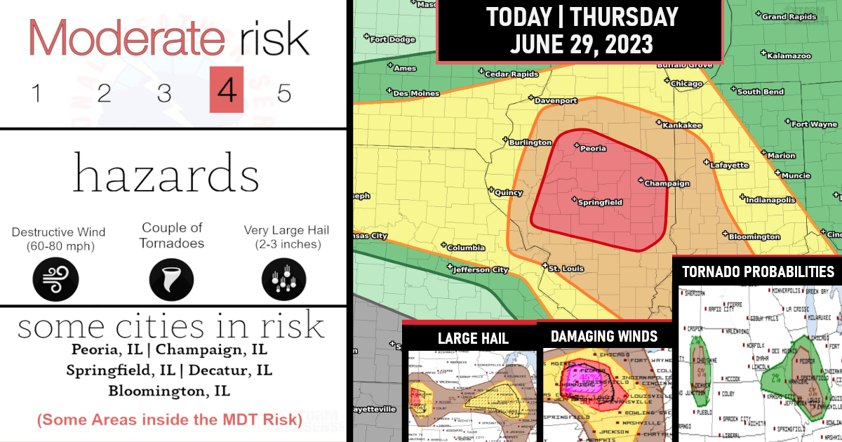
A Moderate Risk (Level 4/5) has been issued for near Hurricane Force Winds and Strong Tornado threat!
A derecho is forecast with widespread damaging winds and embedded swaths of significant severe gusts from 80-110 mph, centered on parts of Oklahoma this evening into tonight. Embedded tornadoes are anticipated as well, with the greatest potential for strong (EF2-EF3) tornadoes across southwest Oklahoma this evening.

(Convective Outlook – Moderate Risk per SPC)
Very fast storm motions of 58–70 mph (interstate highway speeds) are likely, both for early-stage supercells and embedded supercells within the linear convective complex! Embedded tornadoes are anticipated as well, with the greatest potential for strong (EF2-EF3) tornadoes across southwest Oklahoma this evening. Favorable potential for supercell tornadoes in southwest Oklahoma in addition to very large hail.
(Tornado Probabilities – per SPC)
Convection will likely grow quickly upscale into a solid QLCS (Quasi-Linear Convective System or easier said squall line/bow echo) with embedded supercells and rotation.
Embedded swaths of 80-110 mph winds both straight-line and rotating are likely, with stronger speeds into the EF2 (111 to 135 mph) range possible!

Scattered damaging winds from strong to severe gusts may linger through the early morning across MO towards the Mid-MS Valley!

Severe thunderstorms are expected over parts of the southern Plains this afternoon and tonight
HAZARDS…
Widespread damaging winds, some hurricane force
A few intense tornadoes
Isolated large hail
LOCATIONS…
Much of Oklahoma
Parts of northwest Texas and the eastern Panhandle
An extensive swath of severe thunderstorm winds, some exceeding 75 mph, is expected this evening into tonight from the eastern Texas Panhandle across parts of Oklahoma to the western Ozarks region.
A few tornadoes also are possible, with potential for significant/EF2+ damage!
Are you prepared?
Now will be a good time to check your weather radios and have several ways to receive watches & warnings!
Download the WeatherBug app to receive free weather alerts! – Know Before | iOS App – Android App
IMPORTANT:
Review your severe weather safety procedures for the possibility of dangerous weather today.
Stay tuned to NOAA Weather Radio, weather.gov, or other media for watches and warnings.


