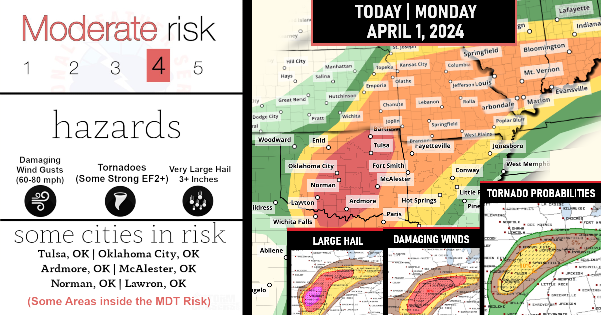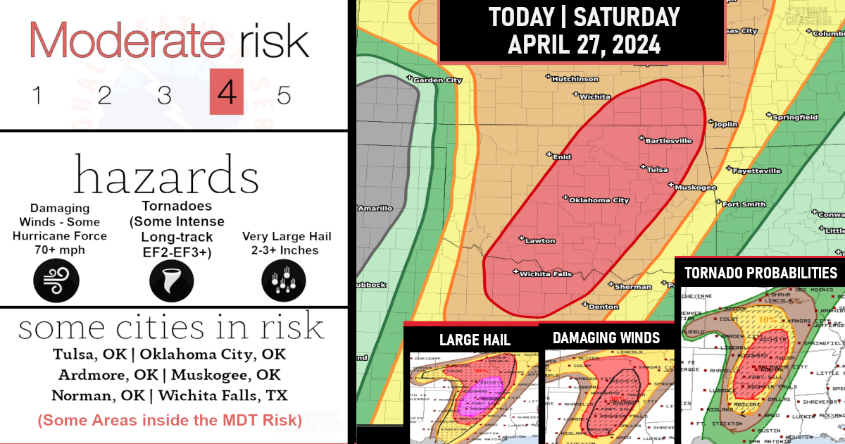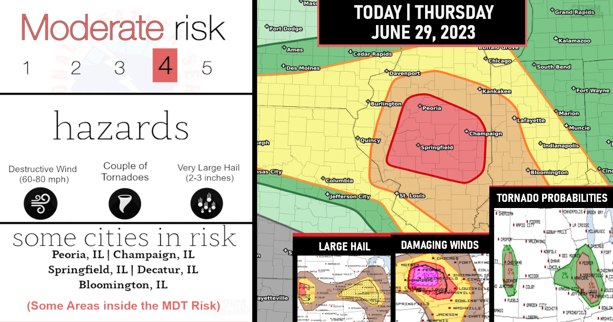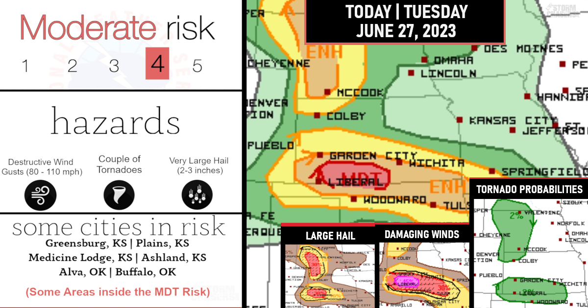
For areas across KS/MO/IL/IN through tonight…
(Tornado Probs)
Scattered thunderstorm development is likely starting mid afternoon from KS into MO. Storms will subsequently spread eastward along the warm front from MO into IL/IN.
The environment will favor supercells capable of producing very large hail (2-3 inches in diameter) and a few tornadoes, with an isolated strong tornado possible.
Storm mode will become messier into the overnight hours with upscale growth into clusters/line segments, with an increase in the threat for damaging winds (60-80 mph), and a continued threat for tornadoes (possibly up to EF2) with embedded/QLCS circulations.
(Damaging Wind Gusts Probs)
Scattered thunderstorm development is expected along the dryline from northwest TX into western OK, and storms will spread quickly northeastward into central/eastern OK through this evening/early tonight.
The environment will be favorable for multiple supercells with very large hail (3 inches in diameter or greater). The magnitude of the tornado threat is a bit less certain given a weakness in the low-level shear until a more consolidated low-level jet response begins by late evening, when storm mergers and upscale growth become more probable into eastern OK/northwest AR/southwest MO early tonight.
(Hail Probs)
Stay tuned for live team storm chasing update!
You can join our community here if interested: http://facebook.com/becomesupporter/livestormchaser


